Derin Precipitation Lab
From sensors to ensembles: precipitation science that holds up in practice

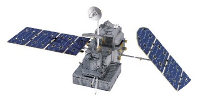
The Derin Precipitation Lab advances the quantitative understanding of precipitation and hydrologic hazards across scales and environments. To improve how precipitation is represented in science and in decision-relevant applications, we as a group develop physically grounded and data-driven approaches which connects remote sensing (satellite and radar) with numerical modeling and stochastic methods. Radar-based quantitative precipitation estimation (QPE) is a cornerstone of our group, we focus from retrieval to quality control to uncertainty characterization and hydrologic applications. Derin Precipitation Lab also focuses on precipitation uncertainty and extremes to develop scalable ensemble tools which includes stochastic downscaling of quantitative precipitation forecasts (QPF) and data-driven emulators of convective hazards.
Send an email if you would like to learn more about the group’s research, collaboration or open positions!
We bridge precipitation science and real-world hydrologic needs—advancing radar QPE, uncertainty-aware extremes, and scalable ensembles for flood and infrastructure-relevant decisions.
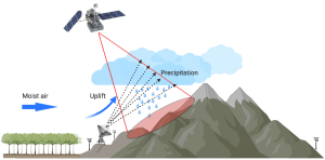
Radar QPE
Retrieval, QC, uncertainty, hydrologic relevance
Uncertainty & Extremes
Error mechanisms, tails, regime dependence
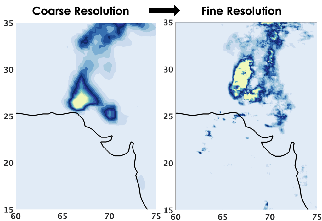
Stochastic rainfall generation
Ensembles, downscaling, space–time structure
Hazard applications
Flood risk, PMP, convective hazards
